
Entwistle topographic map
Interactive map
Click on the map to display elevation.
About this map
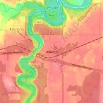
Name: Entwistle topographic map, elevation, terrain.
Location: Entwistle, Parkland County, Alberta, T0E 0S0, Canada (53.57339 -115.01127 53.61339 -114.97127)
Average elevation: 770 m
Minimum elevation: 705 m
Maximum elevation: 799 m