
Saint-Hubert topographic map
Interactive map
Click on the map to display elevation.
About this map
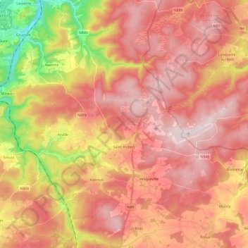
Name: Saint-Hubert topographic map, elevation, terrain.
Location: Saint-Hubert, Luxembourg, Wallonia, 6870, Belgium (49.98123 5.22892 50.09592 5.46046)
Average elevation: 450 m
Minimum elevation: 214 m
Maximum elevation: 589 m