
Stoney Stanton topographic map
Interactive map
Click on the map to display elevation.
About this map
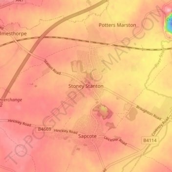
Name: Stoney Stanton topographic map, elevation, terrain.
Average elevation: 87 m
Minimum elevation: -40 m
Maximum elevation: 118 m
Other topographic maps
Click on a map to view its topography, its elevation and its terrain.
Stoney Cove
United Kingdom > England > Stoney Stanton
Stoney Cove, Stoney Stanton, Blaby, Leicestershire, East Midlands, England, LE9 4DW, United Kingdom
Average elevation: 86 m