
Ballyhaise ED topographic map
Interactive map
Click on the map to display elevation.
About this map
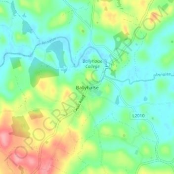
Name: Ballyhaise ED topographic map, elevation, terrain.
Location: Ballyhaise ED, Ballyhaise, County Cavan, Ireland (54.02705 -7.33720 54.06705 -7.29720)
Average elevation: 82 m
Minimum elevation: 50 m
Maximum elevation: 148 m