
New Straitsville topographic map
Interactive map
Click on the map to display elevation.
About this map
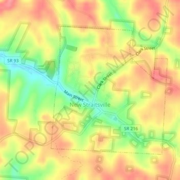
Name: New Straitsville topographic map, elevation, terrain.
Location: New Straitsville, Perry County, Ohio, United States (39.57036 -82.24524 39.58959 -82.22258)
Average elevation: 278 m
Minimum elevation: 230 m
Maximum elevation: 312 m