
Waahila topographic map
Interactive map
Click on the map to display elevation.
About this map
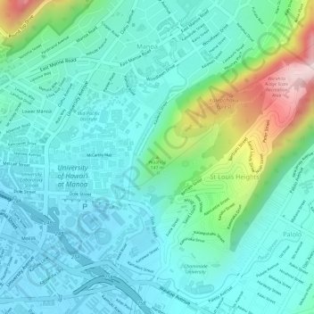
Name: Waahila topographic map, elevation, terrain.
Average elevation: 83 m
Minimum elevation: 3 m
Maximum elevation: 346 m
Other topographic maps
Click on a map to view its topography, its elevation and its terrain.
Pauoa Stream
United States of America > Hawaii > Honolulu
Pauoa Stream, Honolulu, Honolulu County, Hawaii, 96817, United States of America
Average elevation: 31 m