
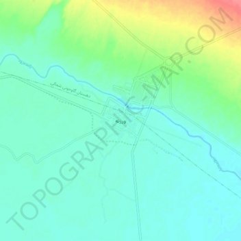
Varzaneh topographic map
Interactive map
Click on the map to display elevation.
About this map
Name: Varzaneh topographic map, elevation, terrain.
Average elevation: 1,483 m
Minimum elevation: 1,468 m
Maximum elevation: 1,532 m
Other topographic maps
Click on a map to view its topography, its elevation and its terrain.
Ghurtan
Iran > Isfahan Province > Isfahan County > دهستان گاوخونی
Ghurtan, دهستان گاوخونی, بخش بن رود, Isfahan County, Isfahan Province, Iran
Average elevation: 1,484 m