
Hughes Springs topographic map
Interactive map
Click on the map to display elevation.
About this map
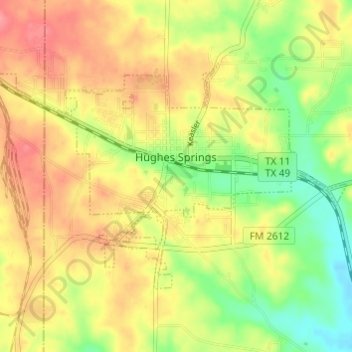
Name: Hughes Springs topographic map, elevation, terrain.
Location: Hughes Springs, Cass County, Texas, 75656, United States (32.97938 -94.66184 33.01207 -94.60119)
Average elevation: 130 m
Minimum elevation: 89 m
Maximum elevation: 165 m