
Mount Townshend topographic map
Interactive map
Click on the map to display elevation.
About this map
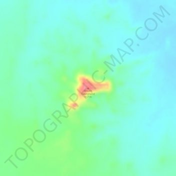
Name: Mount Townshend topographic map, elevation, terrain.
Location: Mount Townshend, Northern Territory, Australia (-25.58401 134.66137 -25.58391 134.66147)
Average elevation: 261 m
Minimum elevation: 240 m
Maximum elevation: 321 m
Other topographic maps
Click on a map to view its topography, its elevation and its terrain.