
Catawba topographic map
Interactive map
Click on the map to display elevation.
About this map
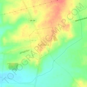
Name: Catawba topographic map, elevation, terrain.
Location: Catawba, Clark County, Ohio, 43010, United States (39.99452 -83.62735 40.00464 -83.61761)
Average elevation: 360 m
Minimum elevation: 333 m
Maximum elevation: 390 m