
Kermit topographic map
Interactive map
Click on the map to display elevation.
About this map
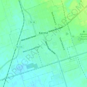
Name: Kermit topographic map, elevation, terrain.
Location: Kermit, Winkler County, Texas, United States of America (31.83799 -103.10806 31.87000 -103.07571)
Average elevation: 874 m
Minimum elevation: 868 m
Maximum elevation: 881 m