
Kampung Sidanu topographic map
Interactive map
Click on the map to display elevation.
About this map
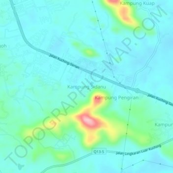
Name: Kampung Sidanu topographic map, elevation, terrain.
Location: Kampung Sidanu, Kuching Division, Sarawak, Malaysia (1.36941 110.33294 1.40941 110.37294)
Average elevation: 36 m
Minimum elevation: 7 m
Maximum elevation: 174 m