
Uhuru Park topographic map
Interactive map
Click on the map to display elevation.
About this map
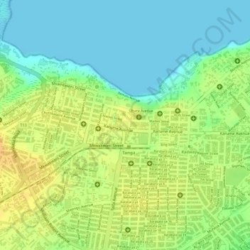
Name: Uhuru Park topographic map, elevation, terrain.
Location: Uhuru Park, Tanga, Northern Zone, Tanzania (-5.07243 39.09912 -5.07143 39.09982)
Average elevation: 16 m
Minimum elevation: -3 m
Maximum elevation: 33 m