
Pottstown topographic map
Interactive map
Click on the map to display elevation.
About this map
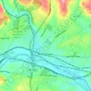
Name: Pottstown topographic map, elevation, terrain.
Location: Pottstown, Montgomery County, Pennsylvania, United States (40.23261 -75.67846 40.26781 -75.61045)
Average elevation: 69 m
Minimum elevation: 34 m
Maximum elevation: 158 m