
Bulle topographic map
Interactive map
Click on the map to display elevation.
About this map
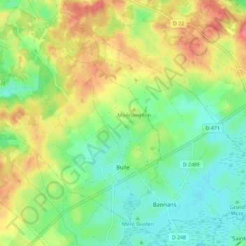
Name: Bulle topographic map, elevation, terrain.
Average elevation: 840 m
Minimum elevation: 808 m
Maximum elevation: 886 m
The municipality is the capital of the Gruyère district. It is located on a hill at an elevation of 770 meters (2,530 ft) above the left side of the Trême river.