
Hot Springs topographic map
Interactive map
Click on the map to display elevation.
About this map
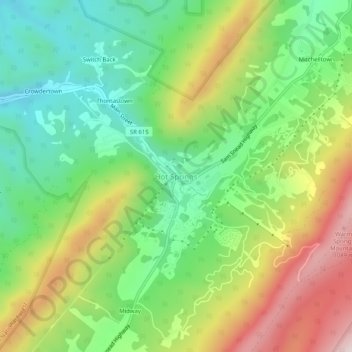
Name: Hot Springs topographic map, elevation, terrain.
Location: Hot Springs, Bath County, Virginia, 24445, United States (37.97957 -79.85172 38.01957 -79.81172)
Average elevation: 801 m
Minimum elevation: 584 m
Maximum elevation: 1,133 m