
Landi Kotal topographic map
Interactive map
Click on the map to display elevation.
About this map
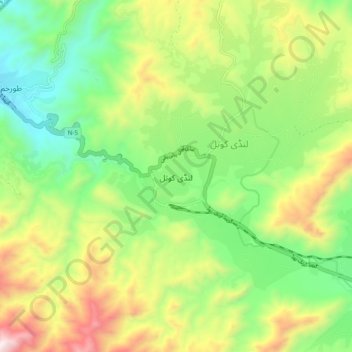
Name: Landi Kotal topographic map, elevation, terrain.
Location: Landi Kotal, Khyber Pakhtunkhwa, Pakistan (34.06053 71.10685 34.14053 71.18685)
Average elevation: 1,156 m
Minimum elevation: 743 m
Maximum elevation: 1,818 m