
Davidsville topographic map
Interactive map
Click on the map to display elevation.
About this map
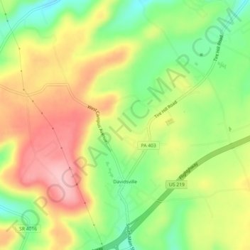
Name: Davidsville topographic map, elevation, terrain.
Average elevation: 564 m
Minimum elevation: 486 m
Maximum elevation: 644 m
Other topographic maps
Click on a map to view its topography, its elevation and its terrain.
Conemaugh Township
United States of America > Pennsylvania > Conemaugh Township
Conemaugh Township, Somerset County, Pennsylvania, United States of America
Average elevation: 554 m