
Carter County topographic map
Interactive map
Click on the map to display elevation.
About this map
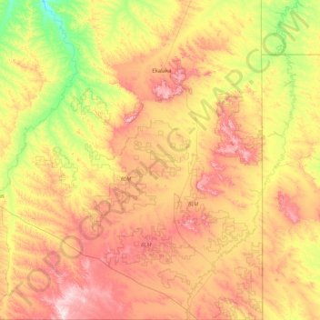
Name: Carter County topographic map, elevation, terrain.
Location: Carter County, Montana, United States (44.99754 -105.03944 46.13690 -104.03956)
Average elevation: 1,007 m
Minimum elevation: 785 m
Maximum elevation: 1,343 m