
Garfield County topographic map
Interactive map
Click on the map to display elevation.
About this map
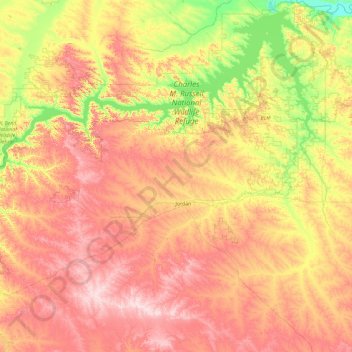
Name: Garfield County topographic map, elevation, terrain.
Location: Garfield County, Montana, United States (46.84518 -107.96476 47.98286 -106.08654)
Average elevation: 827 m
Minimum elevation: 609 m
Maximum elevation: 1,111 m