
Wada topographic map
Interactive map
Click on the map to display elevation.
About this map
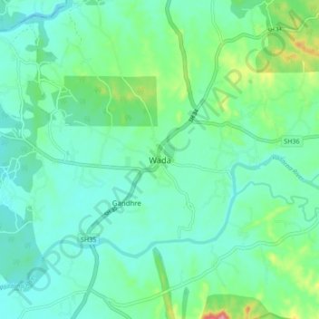
Name: Wada topographic map, elevation, terrain.
Location: Wada, Vada, Palghar, Maharashtra, 421303, India (19.61467 73.10805 19.69467 73.18805)
Average elevation: 57 m
Minimum elevation: 27 m
Maximum elevation: 164 m
Other topographic maps
Click on a map to view its topography, its elevation and its terrain.
Kudus
India > Maharashtra > Vada
Kudus, Vada, Palghar, Maharashtra, 421312, India
Average elevation: 49 m