
Bınga topographic map
Interactive map
Click on the map to display elevation.
About this map
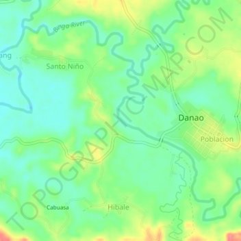
Name: Bınga topographic map, elevation, terrain.
Location: Bınga, Tagbilaran, Bohol, Central Visayas, 6344, Philippines (9.93137 124.19094 9.96165 124.22811)
Average elevation: 79 m
Minimum elevation: 51 m
Maximum elevation: 130 m