
Yakongolo topographic map
Interactive map
Click on the map to display elevation.
About this map
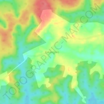
Name: Yakongolo topographic map, elevation, terrain.
Location: Yakongolo, Tshuapa, Democratic Republic of the Congo (0.08414 22.01647 0.12414 22.05647)
Average elevation: 395 m
Minimum elevation: 365 m
Maximum elevation: 433 m