
Ikela II topographic map
Interactive map
Click on the map to display elevation.
About this map
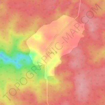
Name: Ikela II topographic map, elevation, terrain.
Location: Ikela II, Orientale, Tshopo, Democratic Republic of the Congo (0.37646 23.40708 0.41646 23.44708)
Average elevation: 559 m
Minimum elevation: 473 m
Maximum elevation: 588 m