Geolocate

Cedar Springs topographic map

Interactive map

Click on the map to display elevation.

About this map

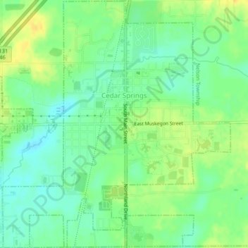
Name: Cedar Springs topographic map, elevation, terrain.

Location: Cedar Springs, Kent County, Michigan, 49319, United States (43.20538 -85.57432 43.23447 -85.53424)

Average elevation: 262 m

Minimum elevation: 250 m

Maximum elevation: 275 m

Other topographic maps

Click on a map to view its topography, its elevation and its terrain.

Cobb Lake

United States > Michigan > Kent County > Bowne Township

Average elevation: 252 m

Harvard Lake

United States > Michigan > Kent County > Harvard

Average elevation: 267 m

Grattan

United States > Michigan > Kent County

Average elevation: 261 m

Grattan

United States > Michigan > Kent County

Average elevation: 261 m

Creekside Park

United States > Michigan > Kent County > Lowell

Average elevation: 201 m