
Taloqan topographic map
Interactive map
Click on the map to display elevation.
About this map
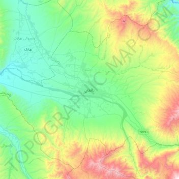
Name: Taloqan topographic map, elevation, terrain.
Location: Taloqan, Taluqan, Takhar, Afghanistan (36.57588 69.37534 36.89588 69.69534)
Average elevation: 1,061 m
Minimum elevation: 615 m
Maximum elevation: 2,181 m