
De Gaulle topographic map
Interactive map
Click on the map to display elevation.
About this map
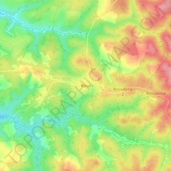
Name: De Gaulle topographic map, elevation, terrain.
Location: De Gaulle, Ouham-Pendé, Central African Republic (6.89680 15.40809 6.97680 15.48809)
Average elevation: 1,155 m
Minimum elevation: 1,104 m
Maximum elevation: 1,214 m