
Ganganagar topographic map
Interactive map
Click on the map to display elevation.
About this map
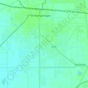
Name: Ganganagar topographic map, elevation, terrain.
Average elevation: 176 m
Minimum elevation: 173 m
Maximum elevation: 180 m
Other topographic maps
Click on a map to view its topography, its elevation and its terrain.
3d
India > Rajasthan > Ganganagar Tehsil > 1 LNP
3d, 1 LNP, Ganganagar Tehsil, Sri Ganganagar District, Rajasthan, India
Average elevation: 178 m
Sri Ganganagar
India > Rajasthan > Ganganagar Tehsil
Sri Ganganagar, Ganganagar Tehsil, Sri Ganganagar District, Rajasthan, 335001, India
Average elevation: 177 m