
Lutry topographic map
Interactive map
Click on the map to display elevation.
About this map
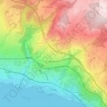
Name: Lutry topographic map, elevation, terrain.
Location: Lutry, District de Lavaux-Oron, Vaud, Switzerland (46.49668 6.67559 46.53682 6.71961)
Average elevation: 585 m
Minimum elevation: 369 m
Maximum elevation: 839 m