
Sungai Kuyoh topographic map
Interactive map
Click on the map to display elevation.
About this map
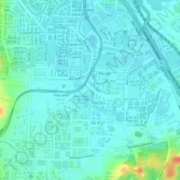
Name: Sungai Kuyoh topographic map, elevation, terrain.
Location: Sungai Kuyoh, Subang Jaya City Council, 43400, Malaysia (3.00526 101.70965 3.01220 101.71006)
Average elevation: 49 m
Minimum elevation: 38 m
Maximum elevation: 96 m
Other topographic maps
Click on a map to view its topography, its elevation and its terrain.
USJ 1
Malaysia > Subang Jaya City Council > USJ 1
USJ 1, Subang Jaya City Council, 47200, Malaysia
Average elevation: 19 m
SS14
Malaysia > Subang Jaya City Council > SS14
SS14, Subang Jaya City Council, 47500, Malaysia
Average elevation: 28 m