
Opal topographic map
Interactive map
Click on the map to display elevation.
About this map
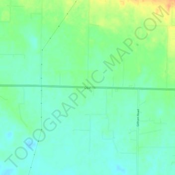
Name: Opal topographic map, elevation, terrain.
Location: Opal, White County, Arkansas, United States (35.07731 -92.02292 35.11731 -91.98292)
Average elevation: 79 m
Minimum elevation: 67 m
Maximum elevation: 101 m
Other topographic maps
Click on a map to view its topography, its elevation and its terrain.