
Bloomingdale topographic map
Interactive map
Click on the map to display elevation.
About this map
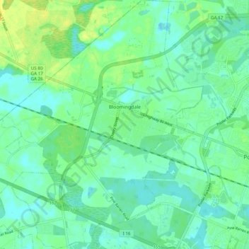
Name: Bloomingdale topographic map, elevation, terrain.
Average elevation: 8 m
Minimum elevation: -2 m
Maximum elevation: 21 m
Other topographic maps
Click on a map to view its topography, its elevation and its terrain.
Ottawa Estates
United States of America > Georgia > Bloomingdale > Ottawa Estates
Ottawa Estates, Bloomingdale, Chatham County, Georgia, 31302, United States of America
Average elevation: 8 m