
برج بريدة topographic map
Interactive map
Click on the map to display elevation.
About this map
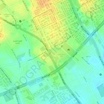
Name: برج بريدة topographic map, elevation, terrain.
Average elevation: 615 m
Minimum elevation: 600 m
Maximum elevation: 632 m
Other topographic maps
Click on a map to view its topography, its elevation and its terrain.
الزرقاء
Saudi Arabia > Al-Qassim Region > Buraydah > الزرقاء
الزرقاء, Buraydah, Al-Qassim Region, 87777, Saudi Arabia
Average elevation: 629 m