
Uson topographic map
Interactive map
Click on the map to display elevation.
Uson
With and elevation of 604 metres (1,982 ft) above sea level, Mount Uac is the highest point of the municipality. The mountain borders the three municipalities of Uson, Mobo and Milagros.
About this map
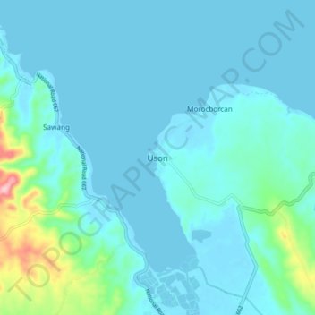
Name: Uson topographic map, elevation, terrain.
Location: Uson, Bangad, Masbate, Bicol Region, Philippines (12.18530 123.74340 12.26530 123.82340)
Average elevation: 25 m
Minimum elevation: -2 m
Maximum elevation: 205 m