
Jadcherla topographic map
Interactive map
Click on the map to display elevation.
Jadcherla
Jadcherla is located at 16°46′26″N 78°08′12″E / 16.7738°N 78.1367°E / 16.7738; 78.1367 and at an altitude of 14 m (46 ft). The town is spread over an area of 550 km2 (210 sq mi). Jadcherla is located 86 km from Hyderabad 130km from Kurnool and 21 km from Mahabubnagar.
About this map
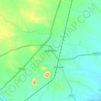
Name: Jadcherla topographic map, elevation, terrain.
Average elevation: 552 m
Minimum elevation: 503 m
Maximum elevation: 703 m