
Svodov topographic map
Interactive map
Click on the map to display elevation.
About this map
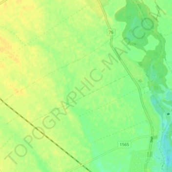
Name: Svodov topographic map, elevation, terrain.
Average elevation: 141 m
Minimum elevation: 129 m
Maximum elevation: 150 m
Other topographic maps
Click on a map to view its topography, its elevation and its terrain.
District of Levice
Slovakia > Region of Nitra > District of Levice
District of Levice, Region of Nitra, Western Slovakia, Slovakia
Average elevation: 227 m