
Kabara Island topographic map
Interactive map
Click on the map to display elevation.
About this map
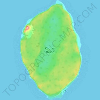
Name: Kabara Island topographic map, elevation, terrain.
Location: Kabara Island, Eastern, Fiji (-18.99335 -178.98113 -18.91576 -178.93023)
Average elevation: 20 m
Minimum elevation: 0 m
Maximum elevation: 137 m
Other topographic maps
Click on a map to view its topography, its elevation and its terrain.