
City of Elmira topographic map
Interactive map
Click on the map to display elevation.
About this map
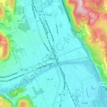
Name: City of Elmira topographic map, elevation, terrain.
Location: City of Elmira, Chemung County, New York, United States (42.06490 -76.84214 42.12010 -76.77607)
Average elevation: 296 m
Minimum elevation: 250 m
Maximum elevation: 485 m
Other topographic maps
Click on a map to view its topography, its elevation and its terrain.