
Sandouping topographic map
Interactive map
Click on the map to display elevation.
About this map
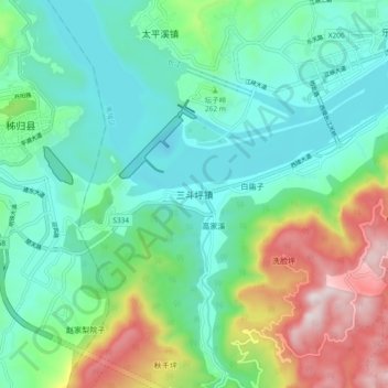
Name: Sandouping topographic map, elevation, terrain.
Location: Sandouping, Yichang, Hubei, China (30.77329 110.97429 30.85329 111.05429)
Average elevation: 259 m
Minimum elevation: 33 m
Maximum elevation: 861 m
Other topographic maps
Click on a map to view its topography, its elevation and its terrain.