
Manuel Alberti topographic map
Interactive map
Click on the map to display elevation.
About this map
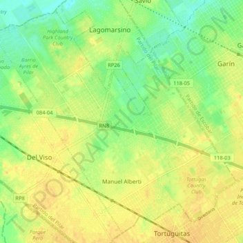
Name: Manuel Alberti topographic map, elevation, terrain.
Location: Manuel Alberti, Partido del Pilar, Buenos Aires, Argentina (-34.47048 -58.81774 -34.40960 -58.73739)
Average elevation: 20 m
Minimum elevation: 5 m
Maximum elevation: 29 m