
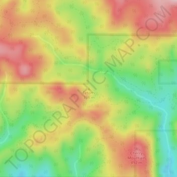
Tetons topographic map
Interactive map
Click on the map to display elevation.
About this map
Name: Tetons topographic map, elevation, terrain.
Location: Tetons, Yamhill County, Oregon, United States (45.17284 -123.62655 45.17294 -123.62645)
Average elevation: 406 m
Minimum elevation: 279 m
Maximum elevation: 524 m
Other topographic maps
Click on a map to view its topography, its elevation and its terrain.
Amity
United States > Oregon > Yamhill County
Amity, Yamhill County, Oregon, United States
Average elevation: 51 m
Dayton
United States > Oregon > Yamhill County
Dayton, Yamhill County, Oregon, United States
Average elevation: 43 m
Newberg
United States > Oregon > Yamhill County
Newberg, Yamhill County, Oregon, United States
Average elevation: 61 m
Lafayette
United States > Oregon > Yamhill County
Lafayette, Yamhill County, Oregon, 97127, United States
Average elevation: 52 m