
Sang topographic map
Interactive map
Click on the map to display elevation.
About this map
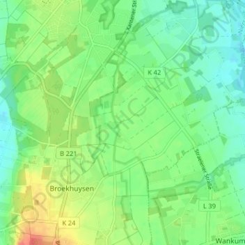
Name: Sang topographic map, elevation, terrain.
Location: Sang, Kreis Kleve, North Rhine-Westphalia, 47638, Germany (51.39986 6.25767 51.43986 6.29767)
Average elevation: 44 m
Minimum elevation: 26 m
Maximum elevation: 73 m