
Contane topographic map
Interactive map
Click on the map to display elevation.
About this map
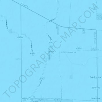
Name: Contane topographic map, elevation, terrain.
Location: Contane, Ferrara, Emilia-Romagna, 44037, Italy (44.90799 12.02869 44.94799 12.06869)
Average elevation: -3 m
Minimum elevation: -6 m
Maximum elevation: 0 m