
Aring topographic map
Interactive map
Click on the map to display elevation.
About this map
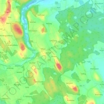
Name: Aring topographic map, elevation, terrain.
Location: Aring, Landkreis Traunstein, Bavaria, 83367, Germany (47.90262 12.82619 47.94262 12.86619)
Average elevation: 450 m
Minimum elevation: 424 m
Maximum elevation: 489 m