
Oerrel topographic map
Interactive map
Click on the map to display elevation.
About this map
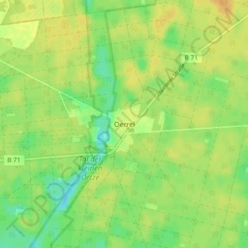
Name: Oerrel topographic map, elevation, terrain.
Location: Oerrel, Heidekreis, Lower Saxony, Germany (52.94108 10.16642 52.98108 10.20642)
Average elevation: 79 m
Minimum elevation: 64 m
Maximum elevation: 89 m