
Nuren topographic map
Interactive map
Click on the map to display elevation.
About this map
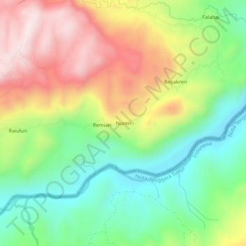
Name: Nuren topographic map, elevation, terrain.
Location: Nuren, Bobonaro, East Timor (-9.03973 125.04044 -8.99973 125.08044)
Average elevation: 381 m
Minimum elevation: 141 m
Maximum elevation: 700 m