
Tando Fazal topographic map
Interactive map
Click on the map to display elevation.
About this map
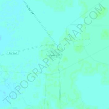
Name: Tando Fazal topographic map, elevation, terrain.
Location: Tando Fazal, Hyderābād District, Sindh, Pakistan (25.23004 68.52005 25.27004 68.56005)
Average elevation: 18 m
Minimum elevation: 16 m
Maximum elevation: 21 m