
Makori topographic map
Interactive map
Click on the map to display elevation.
About this map
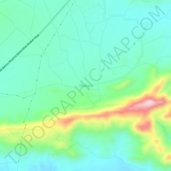
Name: Makori topographic map, elevation, terrain.
Location: Makori, Kohāt District, Khyber Pakhtunkhwa, 21300, Pakistan (33.27129 71.19489 33.31129 71.23489)
Average elevation: 654 m
Minimum elevation: 568 m
Maximum elevation: 902 m