
Daru topographic map
Interactive map
Click on the map to display elevation.
About this map
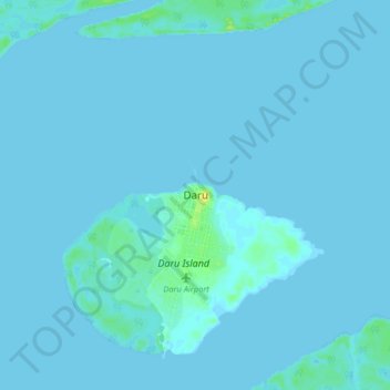
Name: Daru topographic map, elevation, terrain.
Location: Daru, Western, Southern Region, Papua New Guinea (-9.22990 143.05003 -8.90990 143.37003)
Average elevation: 3 m
Minimum elevation: -3 m
Maximum elevation: 42 m
Other topographic maps
Click on a map to view its topography, its elevation and its terrain.