
Pirapora topographic map
Interactive map
Click on the map to display elevation.
Pirapora
Pirapora belongs to its own statistical microregion. The elevation of the municipal seat is 472 meters. It became a municipality in 1912. This municipality is located on the right bank of the São Francisco River and is 340 km from the state capital.
About this map
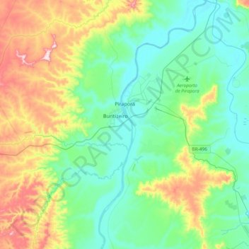
Name: Pirapora topographic map, elevation, terrain.
Average elevation: 586 m
Minimum elevation: 474 m
Maximum elevation: 878 m